
Data by Industry
Explore how Mappex powers smarter decisions across industries—from logistics to healthcare, our location intelligence helps organisations solve real-world challenges and make faster, data-driven decisions.


Use location data to improve branch planning, credit risk models, and understand customer demographics across regions. Make smarter financial decisions backed by real-world behaviour.

Support policy-making, infrastructure planning, and emergency response with geospatial insights. Help departments act faster and serve communities better.
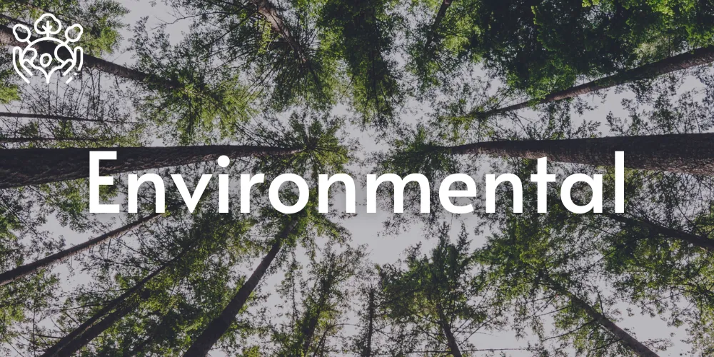
Track deforestation, pollution, and climate patterns over time. Use spatial data to drive sustainability projects and environmental compliance.

Map underserved areas, optimise service coverage, and plan emergency care networks using accurate health and population data.
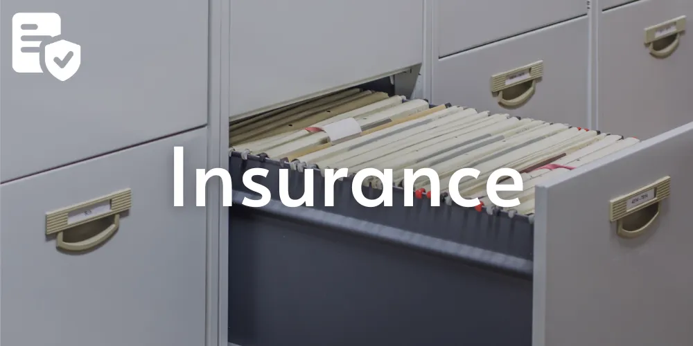
Enhance underwriting, detect fraud, and assess property risk with location-based datasets on weather, disasters, and urban development.
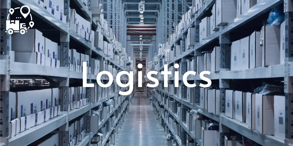
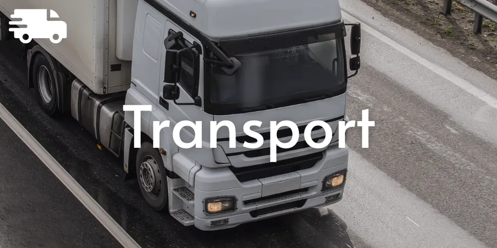
Boost delivery efficiency, reduce operational costs, and plan distribution routes with real-time mapping and movement data.

Identify prime retail locations, analyse competitor zones, and study foot traffic trends for smarter expansion strategies.

Plan network rollouts, monitor signal gaps, and understand where demand is highest to scale telecom infrastructure wisely.
Visualise travel patterns, plan public transit networks, and manage infrastructure more efficiently with spatial intelligence.

Use mapping tools to monitor energy grids, water pipelines, and outage zones. Make asset management faster and more precise.
Want to work with us?
Discover a new era of geospatial intelligence. Whether you're shaping cities, protecting environments or optimising operations, our platform puts accurate, up-to-date location data at your fingertips.
2 Gregory Street, Sandy Bay.
TAS. 700565.
Contact Info
Text us: +61 (0) 420 103 408
Email us: [email protected]
© 2026 Mappex Inc. All rights reserved.
The power of mapping data