
Data Solutions
Comprehensive Spatial Data for Deeper Insight
Beyond the Core Datasets
Not every decision fits neatly into a single data category.
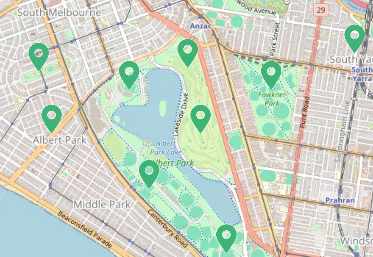
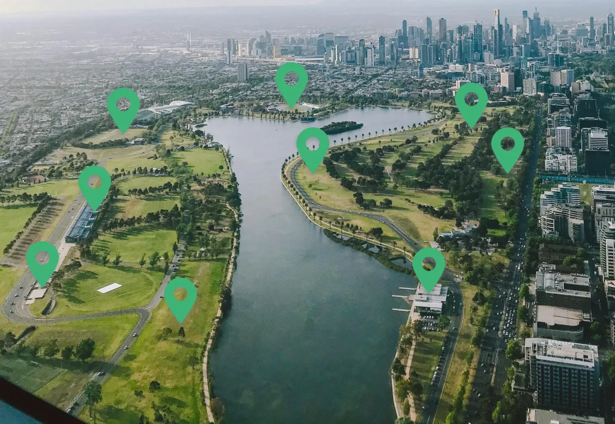
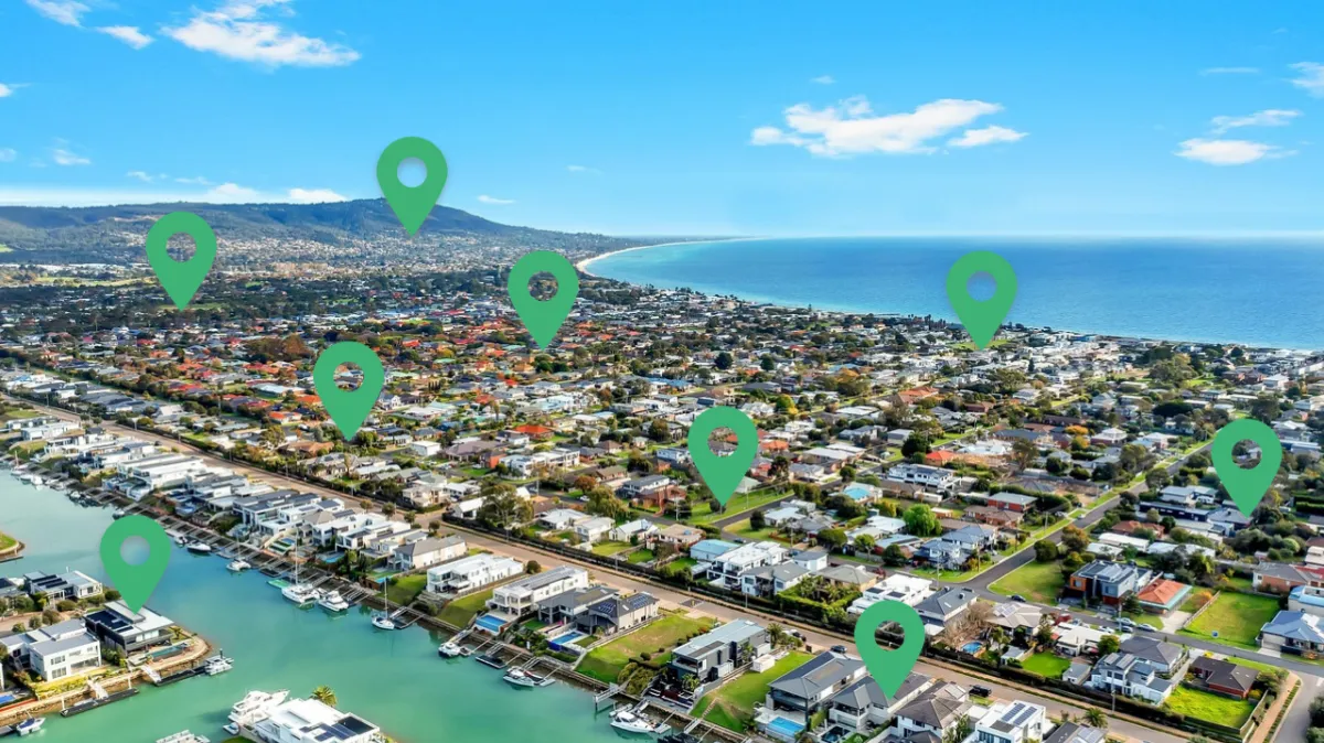
MAPPEX provides a broad range of specialised spatial datasets that support advanced analysis, planning and modelling across environmental, economic and infrastructure domains.
From topography and satellite imagery to census demographics, climate intelligence and primary industry data, these datasets add critical context to location-based decision-making.
Designed for analysts, planners, researchers and enterprise teams, our extended data portfolio delivers structured, reliable and integration-ready intelligence for complex projects.
Explore Our Extended Data Portfolio
Topography & Elevation
Detailed terrain, contour and elevation data to support infrastructure planning, environmental modelling and site assessment.
Imagery & Remote Sensing
High-resolution satellite and aerial imagery for monitoring, mapping, land use analysis and asset management.
Census & Demographic Data
Population, household and socio-economic datasets to inform market analysis, service planning and community development.
People & Society
Social indicators, community profiles and economic participation data to support policy, research and strategic planning.
Infrastructure & Utilities
Transport networks, energy assets, telecommunications, water infrastructure and public utilities for operational and planning insight.
Bodies of Water
Hydrology datasets covering rivers, lakes, coastlines and catchments for environmental management and risk assessment.
Climate & Environmental Data
Historical and modelled climate data, weather patterns and environmental indicators to support resilience planning and sustainability initiatives.
Primary Industries
Agriculture, forestry, fisheries and resource sector data for supply chain analysis, land management and regional development.
With rich attributes, precise geocoding and regular updates, our Insurance Data delivers a comprehensive and actionable view of property risk, empowering insurers to make smarter, data-driven decisions.
Featured Datasets

Overture Places

Precisely Places
Add Context to Every Location
Location data becomes more powerful when enriched with environmental, demographic and infrastructure context.
These datasets help you:
Model environmental and climate risk
Assess infrastructure accessibility and constraints
Analyse population and market characteristics
Support research and policy development
Enhance spatial modelling and forecasting
Strengthen ESG and sustainability reporting
Add Context to Every Location
Spatial and non-spatial formats available
Compatible with GIS, analytics and enterprise platforms
Structured for integration into internal workflows
Reliable, sourced and regularly maintained datasets
Whether used independently or alongside our core datasets, MAPPEX’s extended data solutions provide the broader context needed to make confident, data-driven decisions.
2 Gregory Street, Sandy Bay.
TAS. 700565.
Contact Info
Text us: +61 (0) 420 103 408
Email us: [email protected]
© 2026 Mappex Inc. All rights reserved.
The power of mapping data