
Data by Use Case
Discover how leading organisations use Mappex to tackle real-world challenges—from risk analysis and site selection to supply chain optimisation and healthcare planning, our powerful location-based insights help teams make faster, smarter decisions across every sector.

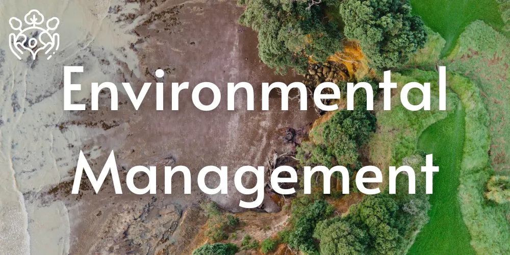
Monitor natural risks like flooding, pollution, and deforestation. Mappex provides location data to guide environmental compliance, land use planning, and climate resilience strategies.

Reveal market trends, regional demand, and consumer behaviour. Use real-world mobility data to fine-tune campaigns and unlock growth opportunities by geography.
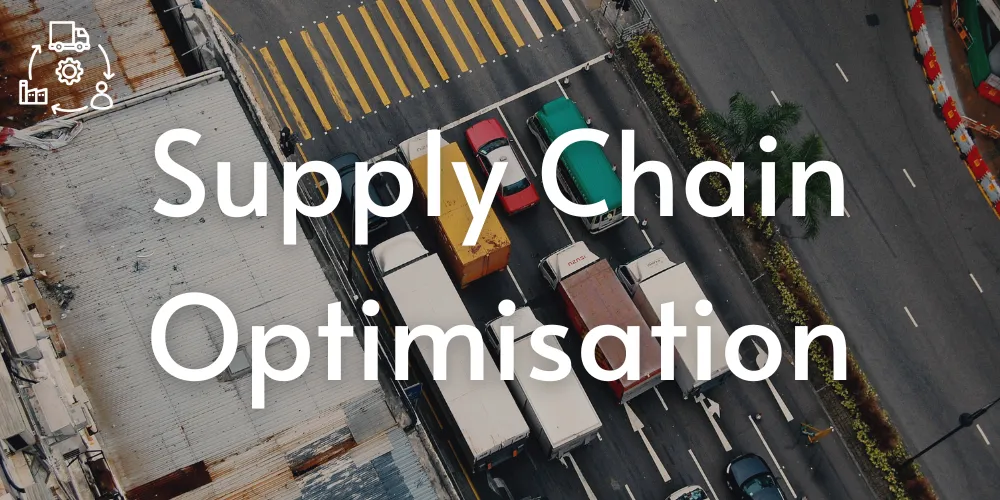
Streamline logistics from warehouse to last-mile delivery. Mappex helps model disruptions, reduce delays, and improve efficiency across your supply network.
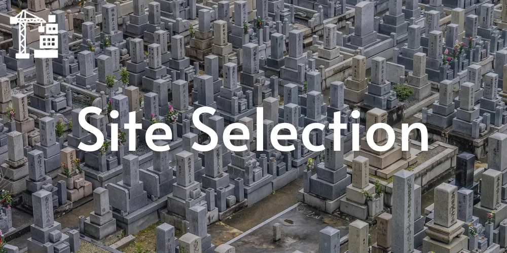
Choose the best locations for your next expansion. Analyse population, competition, foot traffic, and risk factors to make informed, high-impact placement decisions.
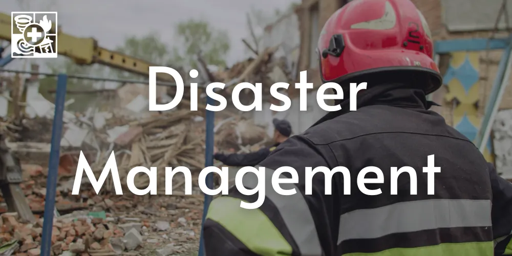
Prepare for and respond to natural disasters with precision. Mappex helps identify high-risk zones, model impact scenarios, and coordinate emergency resources in real time.

Track health trends and plan smarter resource deployment. From facility siting to patient access, Mappex guides data-driven decisions in public and private healthcare.

Build smarter transit and traffic systems. Visualise flow, congestion, and commuter patterns to optimise mobility and reduce urban friction.
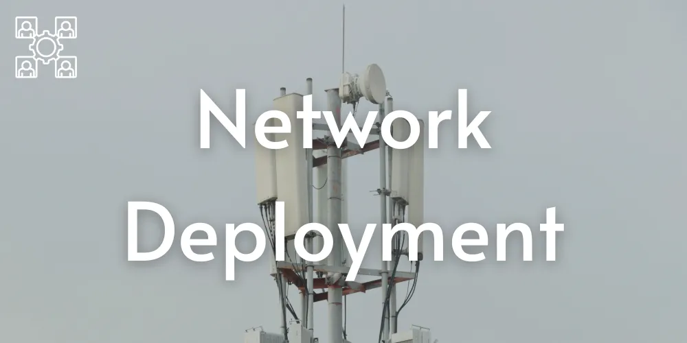
Plan infrastructure rollout with precision. Whether it’s fibre optics, 5G towers, or utility networks, Mappex shows where demand and coverage meet.
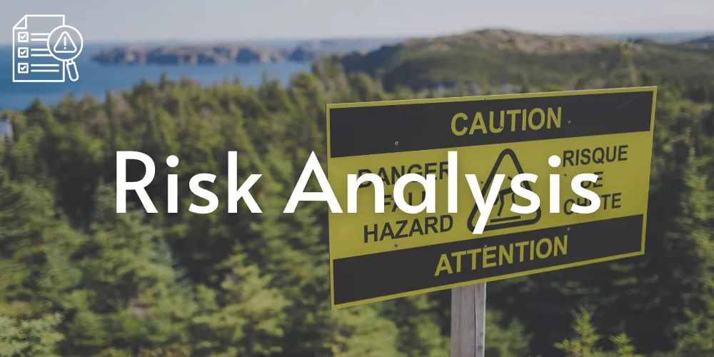
Identify areas vulnerable to natural or financial risk. Layer geospatial and historic data to assess threats, prepare contingency plans, and protect operations.
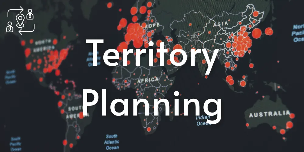
Define and balance sales, service, or delivery zones. Align field operations with data-driven boundaries to maximise performance across your regions.
Want to work with us?
Discover a new era of geospatial intelligence. Whether you're shaping cities, protecting environments or optimising operations, our platform puts accurate, up-to-date location data at your fingertips.
2 Gregory Street, Sandy Bay.
TAS. 700565.
Contact Info
Text us: +61 (0) 420 103 408
Email us: [email protected]
© 2026 Mappex Inc. All rights reserved.
The power of mapping data