Find the Right Data by Industry or Use Case
Explore a wide range of curated datasets—from topography and imagery to emergency planning and climate data.
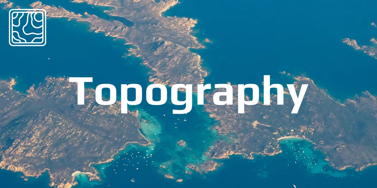
Elevation, contours, terrain surfaces to guide infrastructure and environmental planning.
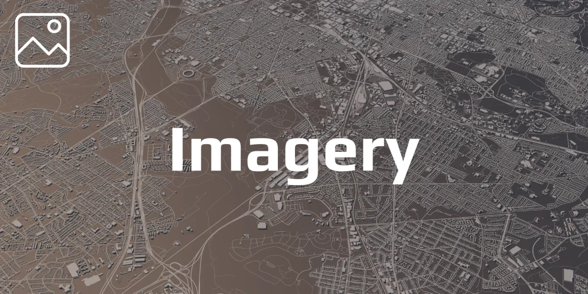
Satellite and aerial views for site inspections, planning, and environmental tracking.
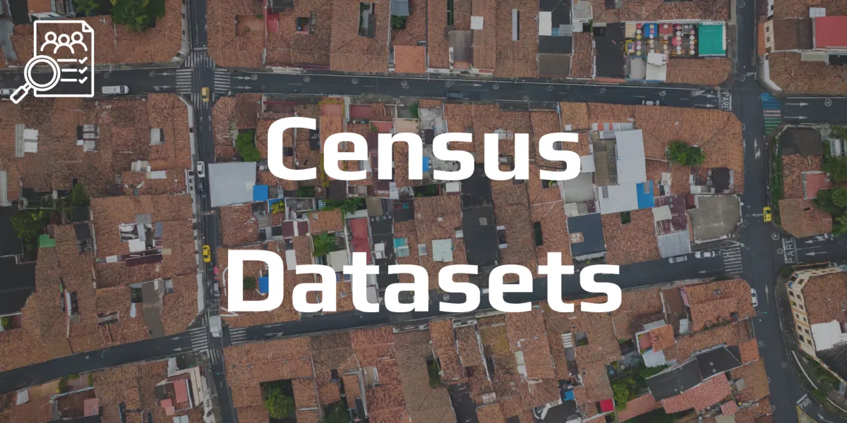
Demographic and economic data tied to specific geographies.
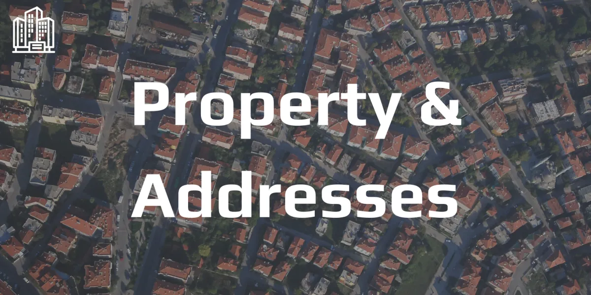
Verified address and property boundary data for analysis and delivery routing.

Insights into population distribution, behaviour, and trends.
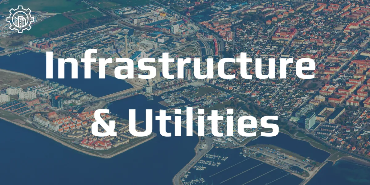
Power, water, telecoms and roads—location data for essential services.
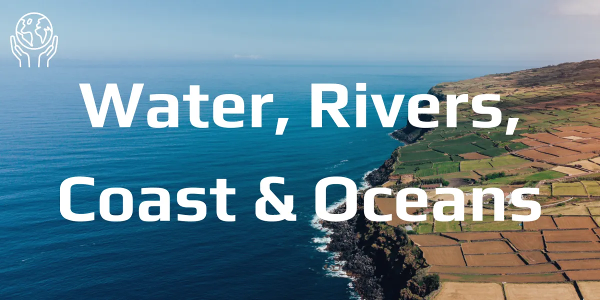
Environmental data focused on aquatic regions and resources.
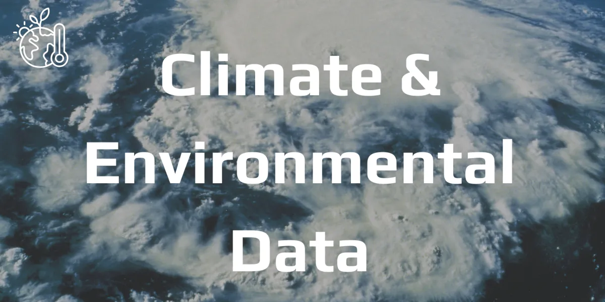
Monitor climate change indicators, air quality, vegetation, and more.
Support risk planning, disaster mitigation, and crisis response.
Agricultural, mining, and manufacturing geospatial datasets.

Habitat mapping and biodiversity datasets for conservation and planning.
Not Sure Where to Start?
At Mappex, we make powerful GIS data easy to find, visualise and use—so you can explore, analyse and act with confidence. Whether you're shaping cities, protecting environments or optimising operations, our platform puts accurate, up-to-date location data at your fingertips.
Contact Info
Text us: +61 (0) 420 103 408
Email us: [email protected]
© 2025 Mappex Inc. All rights reserved.
The power of mapping data
