
Insurance Data
Smarter Risk Starts with Better Data
Built for Modern Underwriting
Our Insurance Data delivers precise, address-level and property-level intelligence to support underwriting, pricing and risk assessment.
Combining verified location data, property attributes and hazard indicators in a structured, integration-ready format, it enables faster decisions, improved pricing accuracy and stronger portfolio performance without complex geospatial tools.

Insurance Data Delivers Value
Underwriting & Risk Assessment: Evaluate property-level risk with precise location and hazard indicators.
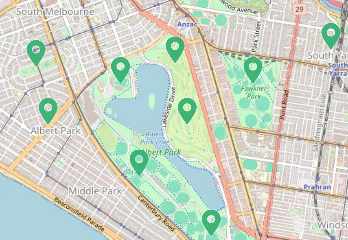
Catastrophe Modelling: Assess exposure to flood, bushfire, storm and other natural hazards.
Portfolio Optimisation: Understand geographic concentration and manage accumulation risk.
Claims Validation: Verify insured locations and assess environmental context.
Fraud Detection: Validate address accuracy and detect inconsistencies in policy data.
Data Depth & Coverage
Address-level and property-level intelligence
Hazard exposure indicators including flood, bushfire, storm and climate risk signals
Building and property attributes to support underwriting decisions
Persistent unique identifiers for seamless data integration
Flexible formats for integration into underwriting, pricing and analytics platforms
With rich attributes, precise geocoding and regular updates, our Insurance Data delivers a comprehensive and actionable view of property risk, empowering insurers to make smarter, data-driven decisions.
Turn Insight into Competitive Advantage
Exposure Analysis: Quantify risk at the individual property or portfolio level.
Pricing Accuracy: Align premiums more closely with actual risk characteristics.
Service Eligibility: Determine coverage availability based on geographic risk factors.
Data Enrichment: Append risk indicators to internal policy and claims datasets.
Operational Efficiency: Streamline underwriting workflows with validated, structured data.
Featured Datasets

Overture Places

Precisely Places
Adapt to a Changing Risk Environment

Risk environments are constantly evolving. Climate patterns shift. Development expands. Property characteristics change.
Our Insurance Data ensures your decisions are based on the most current information, with regular updates that reflect:
Changes to property and building attributes
Updates to hazard exposure modelling
Newly developed or redeveloped properties
Refined geographic and environmental risk indicators
In a market where precision determines profitability, access to accurate, enriched and current risk intelligence is essential.
2 Gregory Street, Sandy Bay.
TAS. 700565.
Contact Info
Text us: +61 (0) 420 103 408
Email us: [email protected]
© 2026 Mappex Inc. All rights reserved.
The power of mapping data