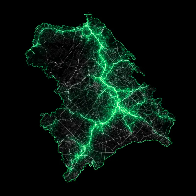

Western Australia Contours
AU$1.00
Quantity
Interpolated contours lines at 2 metre intervals produced by DPIRD (formerly DAFWA) from the Land Monitor project (1998-2000) DEM based on a 10 metre grid.
This data set does not cover the entire south west region - see the coverage map in the metadata for the full area.

2 Gregory Street, Sandy Bay.
TAS. 700565.
Contact Info
Text us: +61 (0) 420 103 408
Email us: [email protected]
© 2025 Mappex Inc. All rights reserved.
The power of mapping data
