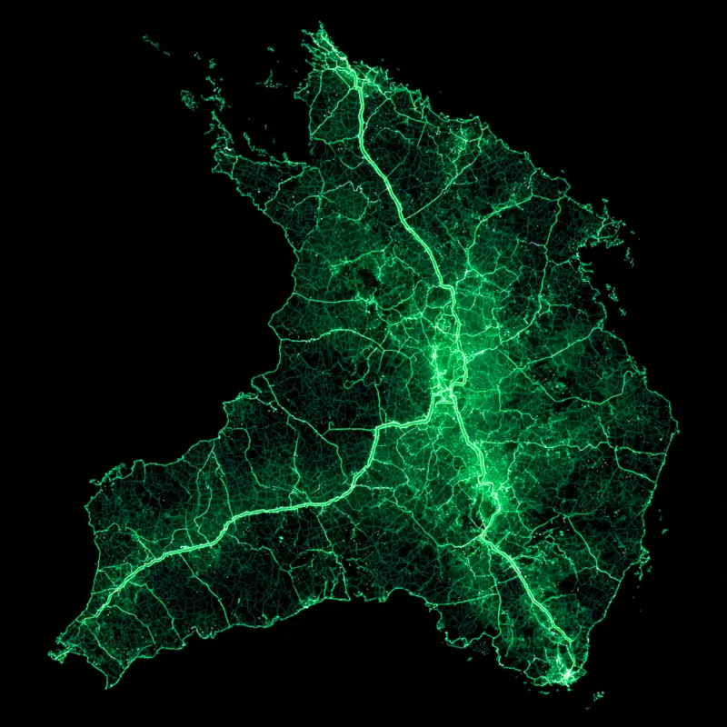

Queensland, Australia Cadastral Parcels
AU$1.00
Quantity
The Digital Cadastral DataBase (DCDB) is the spatial representation of the property boundaries and the related property descriptions of Queensland. The DCDB provides the map base for systems dealing with land and land related information. This dataset is updated nightly from the Queensland Digital Cadastral Database (DCDB). The layer shows all property parcel types.

2 Gregory Street, Sandy Bay.
TAS. 700565.
Contact Info
Text us: +61 (0) 420 103 408
Email us: [email protected]
© 2025 Mappex Inc. All rights reserved.
The power of mapping data
